Working with 3D city models in Python
Balázs Dukai @BalazsDukai, FOSS4G 2019
Tweet #CityJSON
3D geoinformation research group, TU Delft, Netherlands

Repo of this talk: https://github.com/balazsdukai/foss4g2019
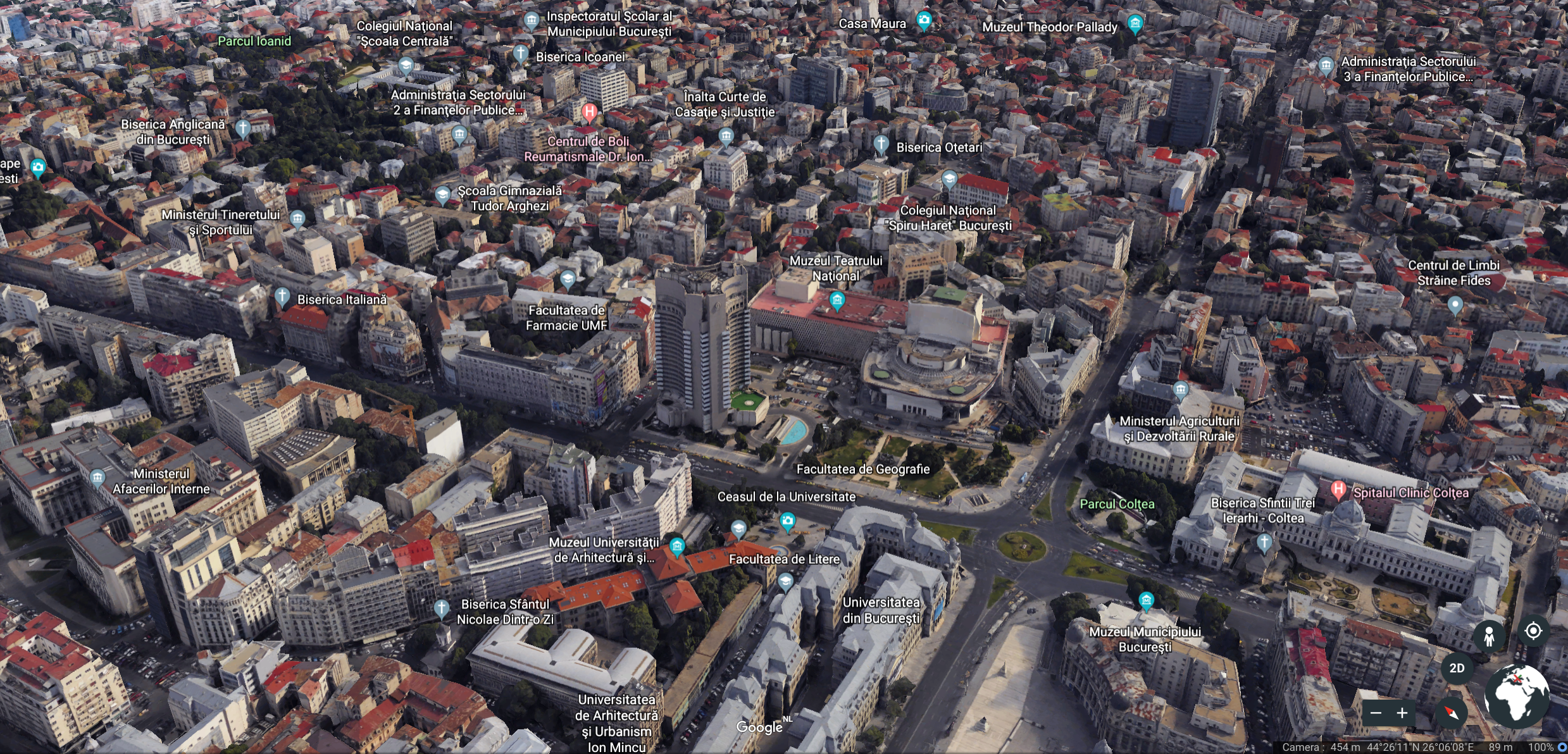
3D + city + model ?
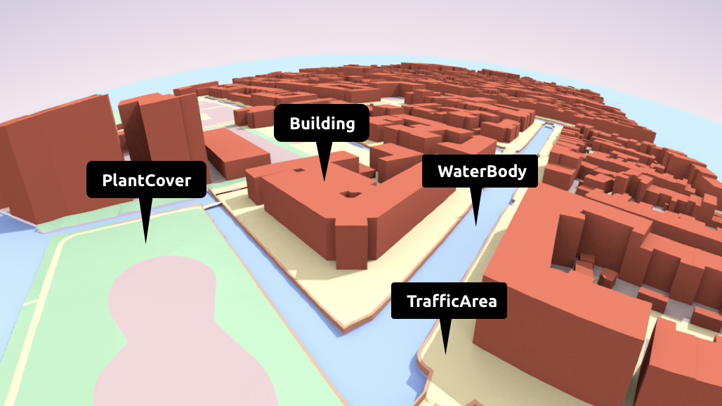
Semantic models
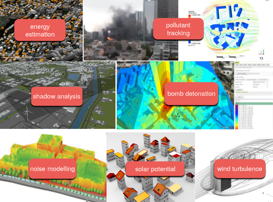
Useful for urban analysis
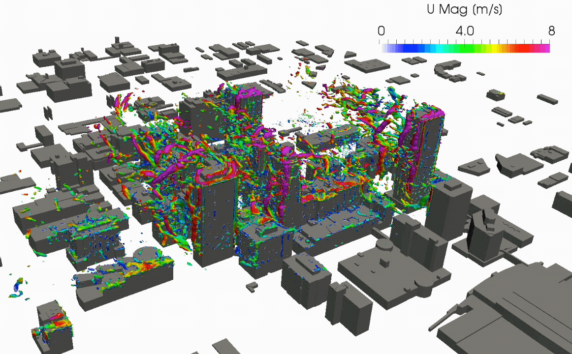
García-Sánchez, C., van Beeck, J., Gorlé, C., Predictive Large Eddy Simulations for Urban Flows: Challenges and Opportunities, Building and Environment, 139, 146-156, 2018.
And many more...
...mostly just production of the models
many available, but who uses them? For more than visualisation?
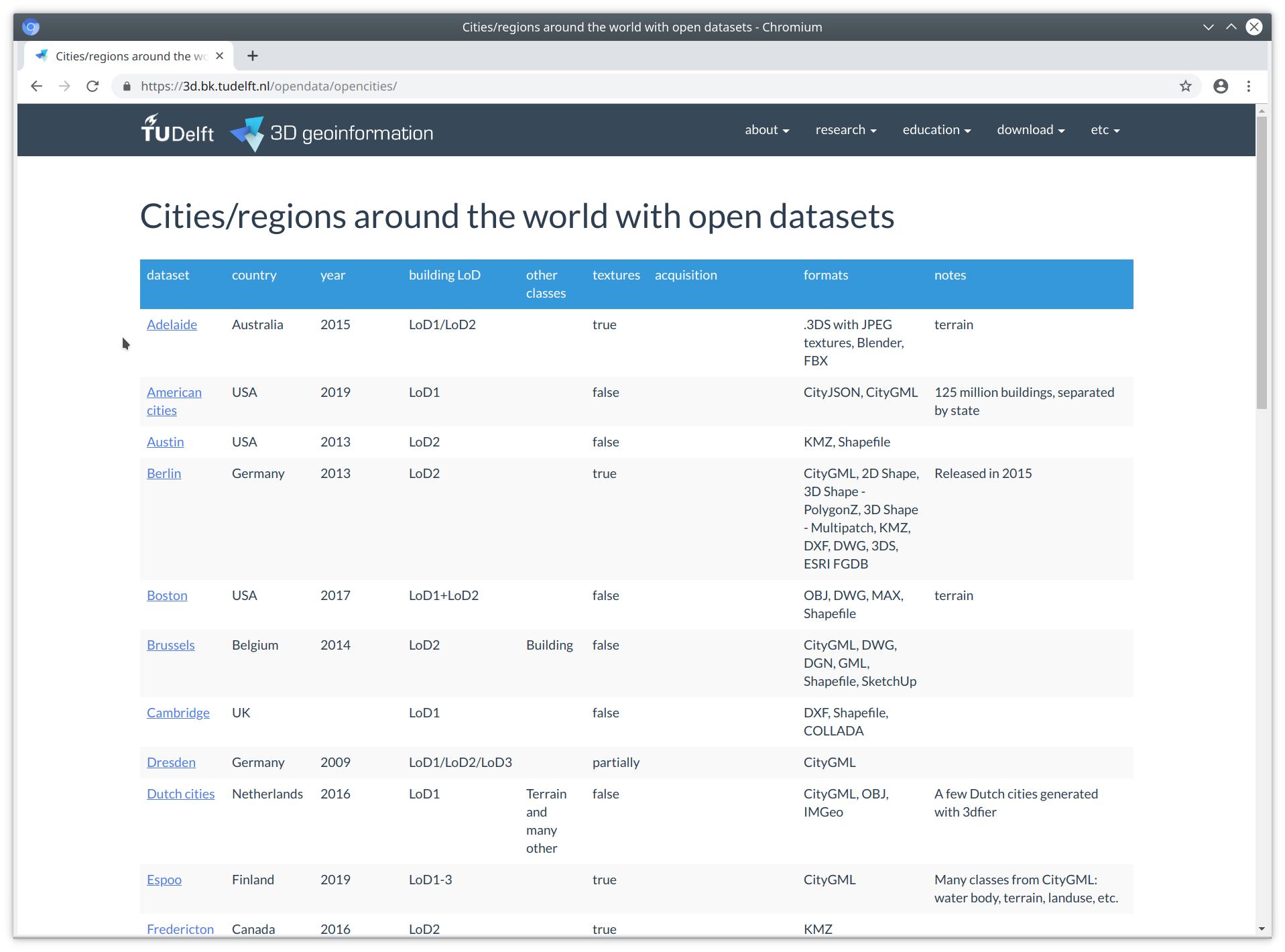
In truth, 3D CMs are a bit difficult to work with
Our built environment is complex, and the objects are complex too
Software are lagging behind
not many software supports 3D city models
if they do, mostly propietary data model and format
large, "eterprise"-type applications (think Esri, FME, Bentley ... )
few tools accessible for the individual developer / hobbyist
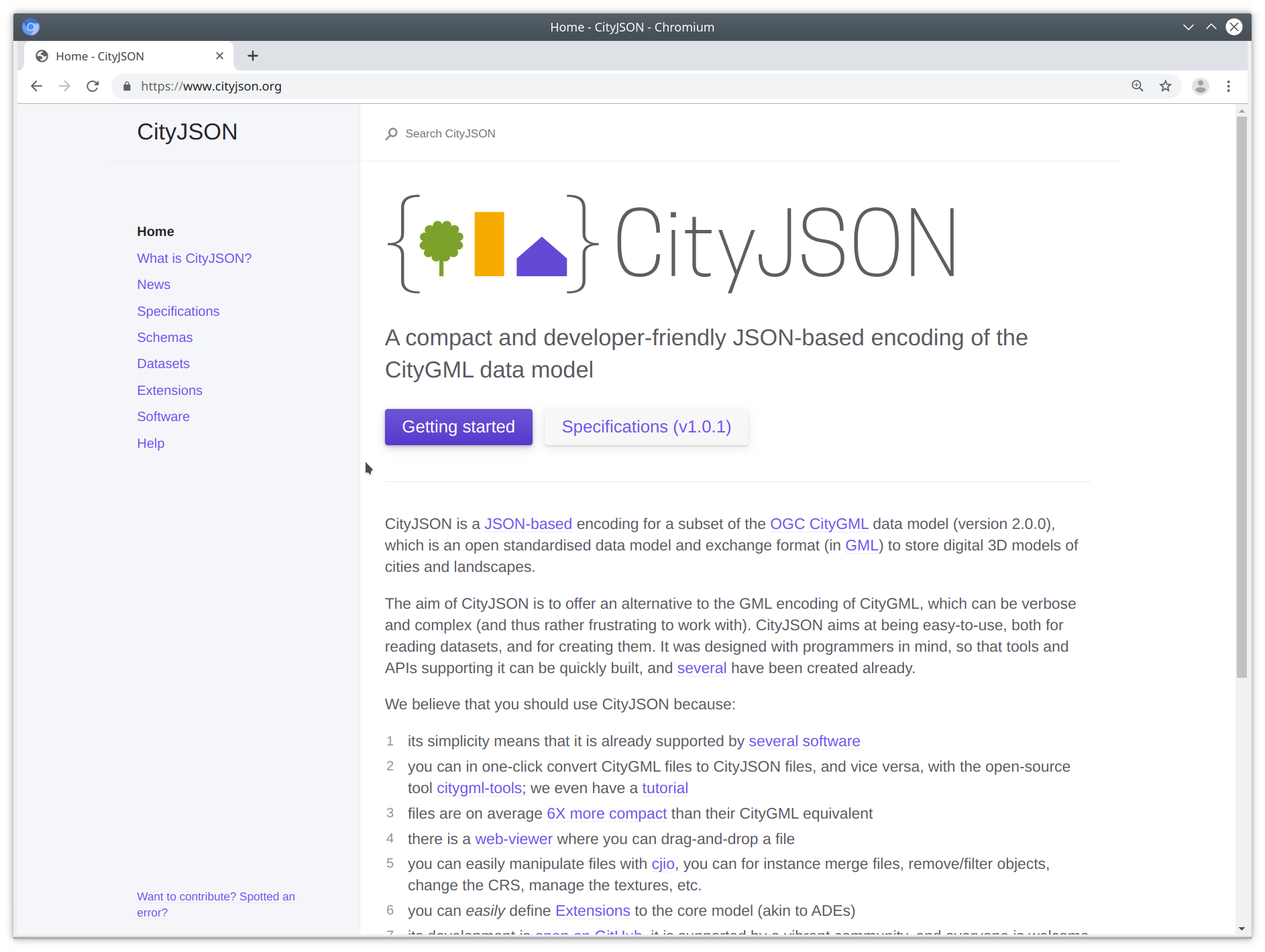
Key concepts of CityJSON
- simple, as in easy to implement
- designed with programmers in mind
- fully developed in the open
- flattened hierarchy of objects
- implementation first
JSON-based encoding of the CityGML data model
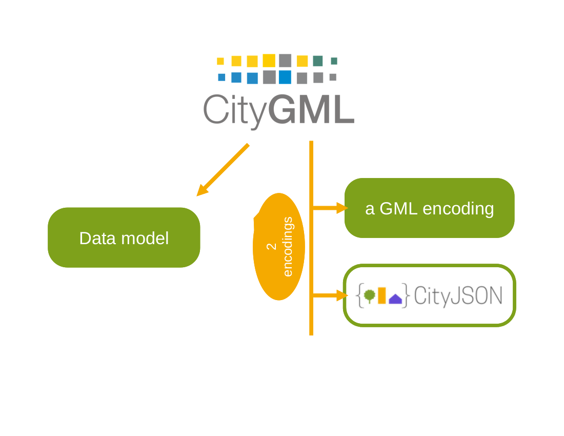
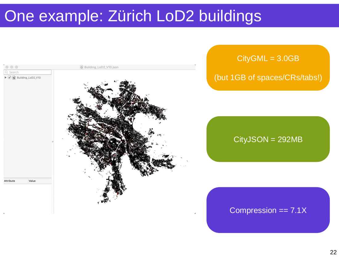
Compression ~6x over CityGML

Let's have a look-see, shall we?

An empty CityJSON file

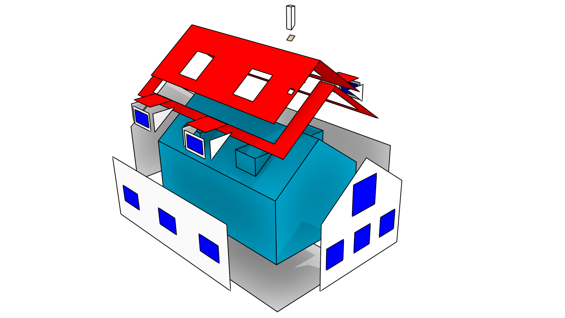
A CityObject

Geometry
- boundaries definition uses vertex indices (inspired by Wavefront OBJ)
- We have a vertex list at the root of the document
- Vertices are not repeated (unlike Simple Features)
- semantics are linked to the boundary surfaces

import json
import os

path = os.path.join('data', 'rotterdam_subset.json')
with open(path) as fin:
    cm = json.loads(fin.read())

print(f"There are {len(cm['CityObjects'])} CityObjects")

# list all IDs
for id in cm['CityObjects']:
    print(id, "\t")
- Working with a CityJSON file is straightforward. One can open it with the standard library and get going.
- But you need to know the schema well.
- And you need to write everything from scratch.
cjio has a (quite) stable CLI
$ cjio city_model.json reproject 2056 export --format glb /out/model.glb
and an experimental API
from cjio import cityjson

cm = cityjson.load('city_model.json')

cm.get_cityobjects(type='building')
pip install cjio
pip install git+https://github.com/tudelft3d/cjio@develop
cjio's CLI
! cjio --help
! cjio data/rotterdam_subset.json info
! cjio data/rotterdam_subset.json \
    subset --exclude --id "{CD98680D-A8DD-4106-A18E-15EE2A908D75}" \
    merge data/rotterdam_one.json \
    reproject 2056 \
    save data/test_rotterdam.json
The CLI was first, no plans for API
Works with whole city model only
Functions for the CLI work with the JSON directly, passing it along
Simple and effective architecture
cjio's API
Allow read --> explore --> modify --> write iteration
Work with CityObjects and their parts
Functions for common operations
Inspired by the tidyverse from the R ecosystem
Load a CityJSON
path = os.path.join('data', 'rotterdam_subset.json')

cm = cityjson.load(path)

print(type(cm))
Getting objects from the model
Get CityObjects by their type, or a list of types. Also by their IDs.
Note that get_cityobjects() == cm.cityobjects
buildings = cm.get_cityobjects(type='building')

# both Building and BuildingPart objects
buildings_parts = cm.get_cityobjects(type=['building', 'buildingpart'])

r_ids = ['{C9D4A5CF-094A-47DA-97E4-4A3BFD75D3AE}',
         '{6271F75F-E8D8-4EE4-AC46-9DB02771A031}']
buildings_ids = cm.get_cityobjects(id=r_ids)
Analysing CityModels
path = os.path.join('data', 'zurich.json')
zurich = cityjson.load(path, transform=True)
A simple geometry function
def compute_footprint_area(co):
    """Compute the area of the footprint"""
    footprint_area = 0
    for geom in co.geometry:

        # only LoD2 (or higher) objects have semantic surfaces
        if geom.lod >= 2.0:
            footprints = geom.get_surfaces(type='groundsurface')

            # there can be many surfaces with label 'groundsurface'
            for i,f in footprints.items():
                for multisurface in geom.get_surface_boundaries(f):
                    for surface in multisurface:

                        # cast to Shapely polygon
                        shapely_poly = Polygon(surface)
                        footprint_area += shapely_poly.area

    return footprint_area
Compute new attributes
for co_id, co in zurich.cityobjects.items():
    co.attributes['nr_vertices'] = len(co.get_vertices())
    co.attributes['fp_area'] = compute_footprint_area(co)
    zurich.cityobjects[co_id] = co
df = zurich.to_dataframe()
df.head()
%matplotlib notebook
model = cluster.DBSCAN(eps=0.2).fit(df_logtransform)

plot_model_results(model, df_logtransform)

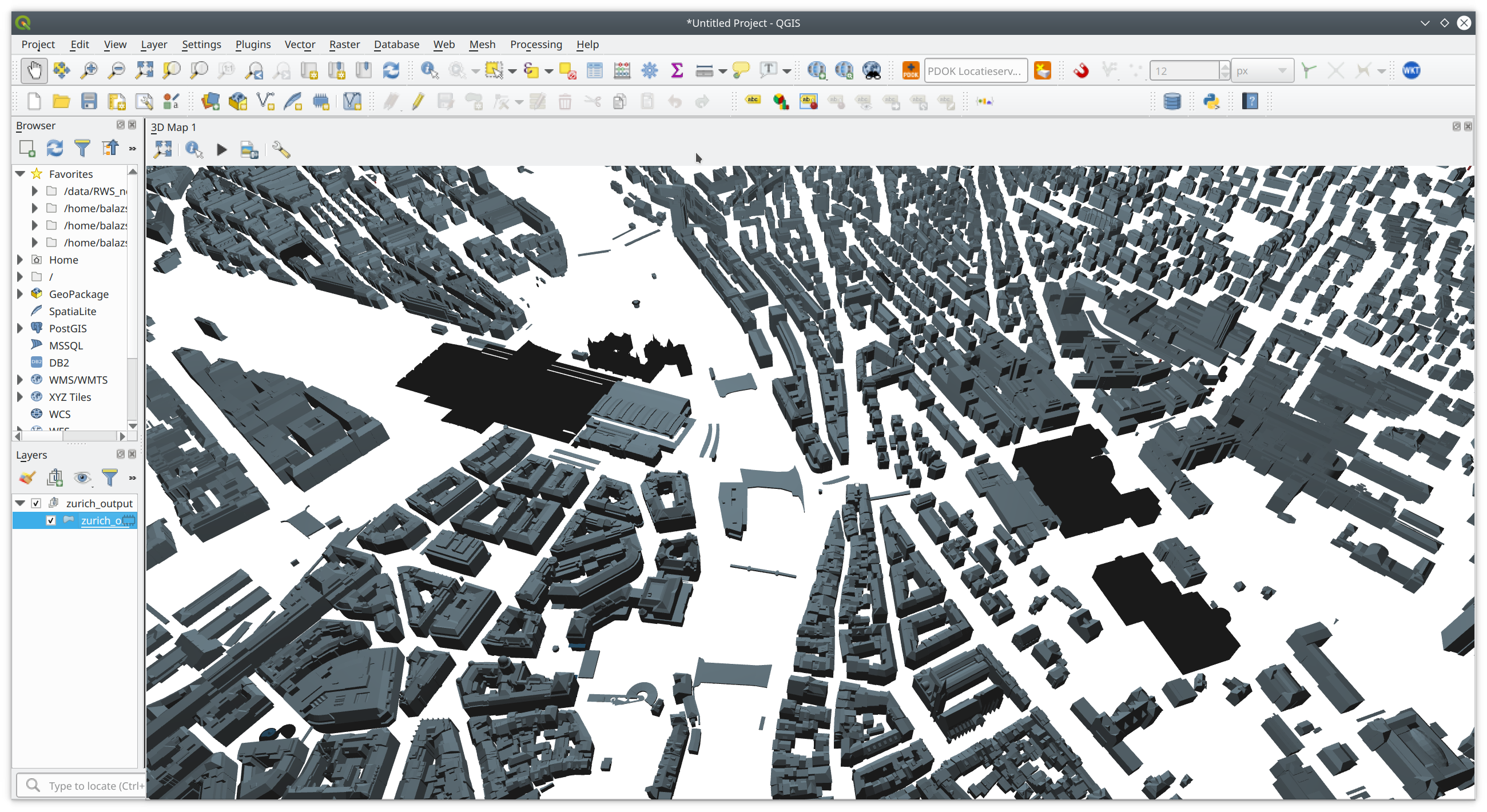
Save the results back to CityJSON
for co_id, co in zurich.cityobjects.items():
    if co_id in df_subset.index:
        ml_results = dict(df_subset.loc[co_id])
    else:
        ml_results = {'nr_vertices': 'nan', 'fp_area': 'nan', 'dbscan': 'nan'}
    new_attrs = {**co.attributes, **ml_results}
    co.attributes = new_attrs
    zurich.cityobjects[co_id] = co
path_out = os.path.join('data', 'zurich_output.json')
cityjson.save(zurich, path_out)
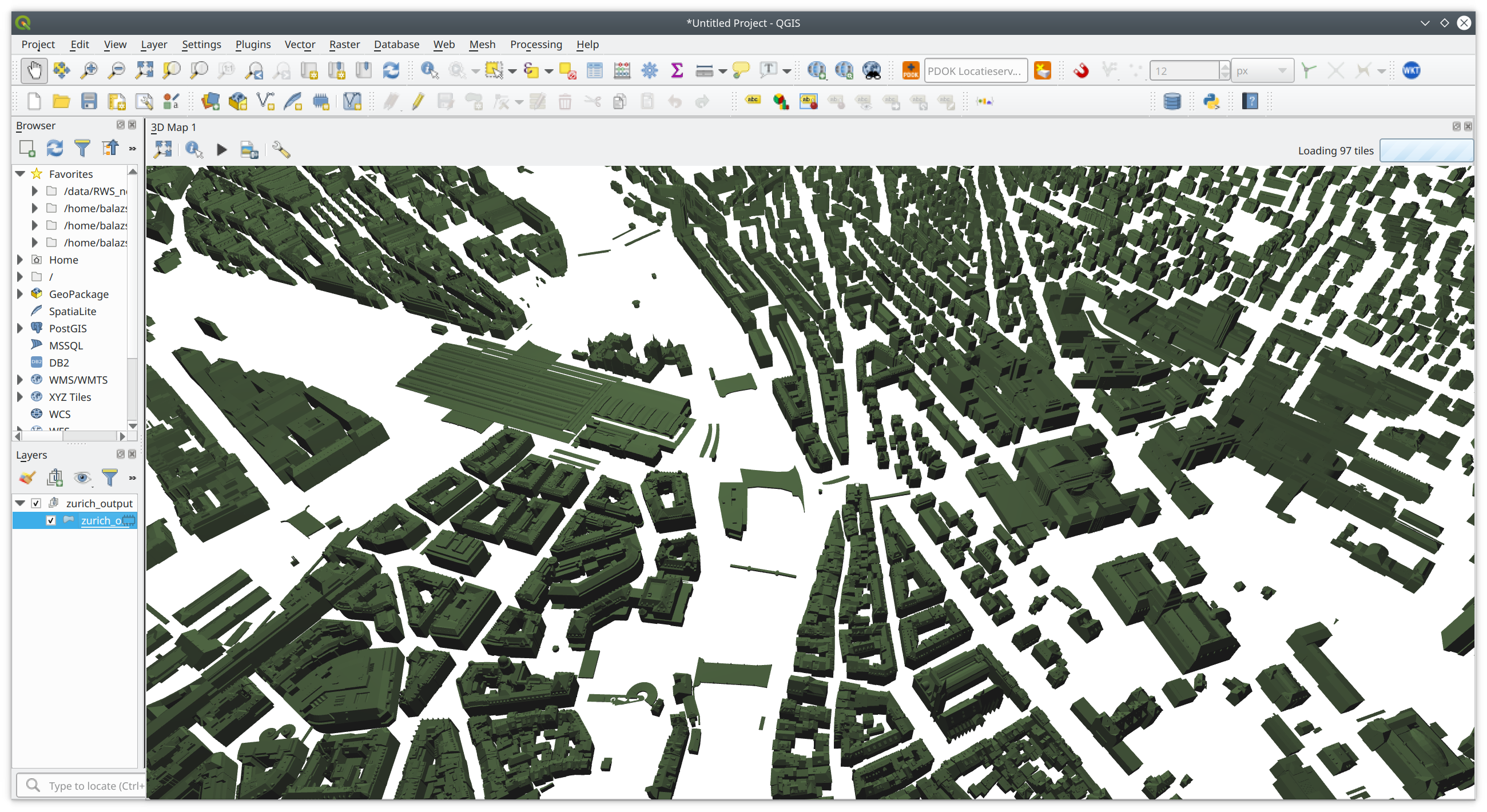
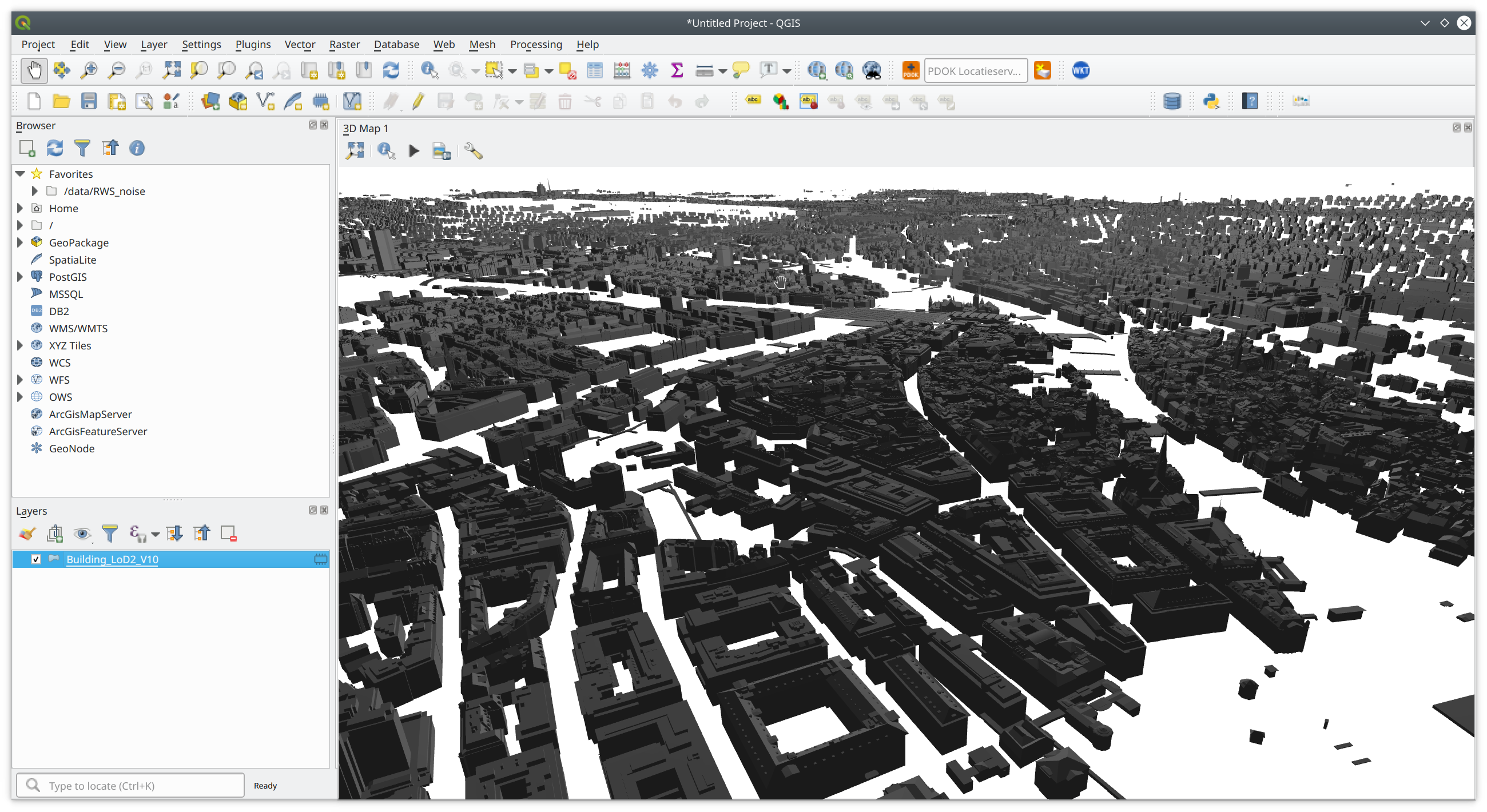
And view the results in QGIS again
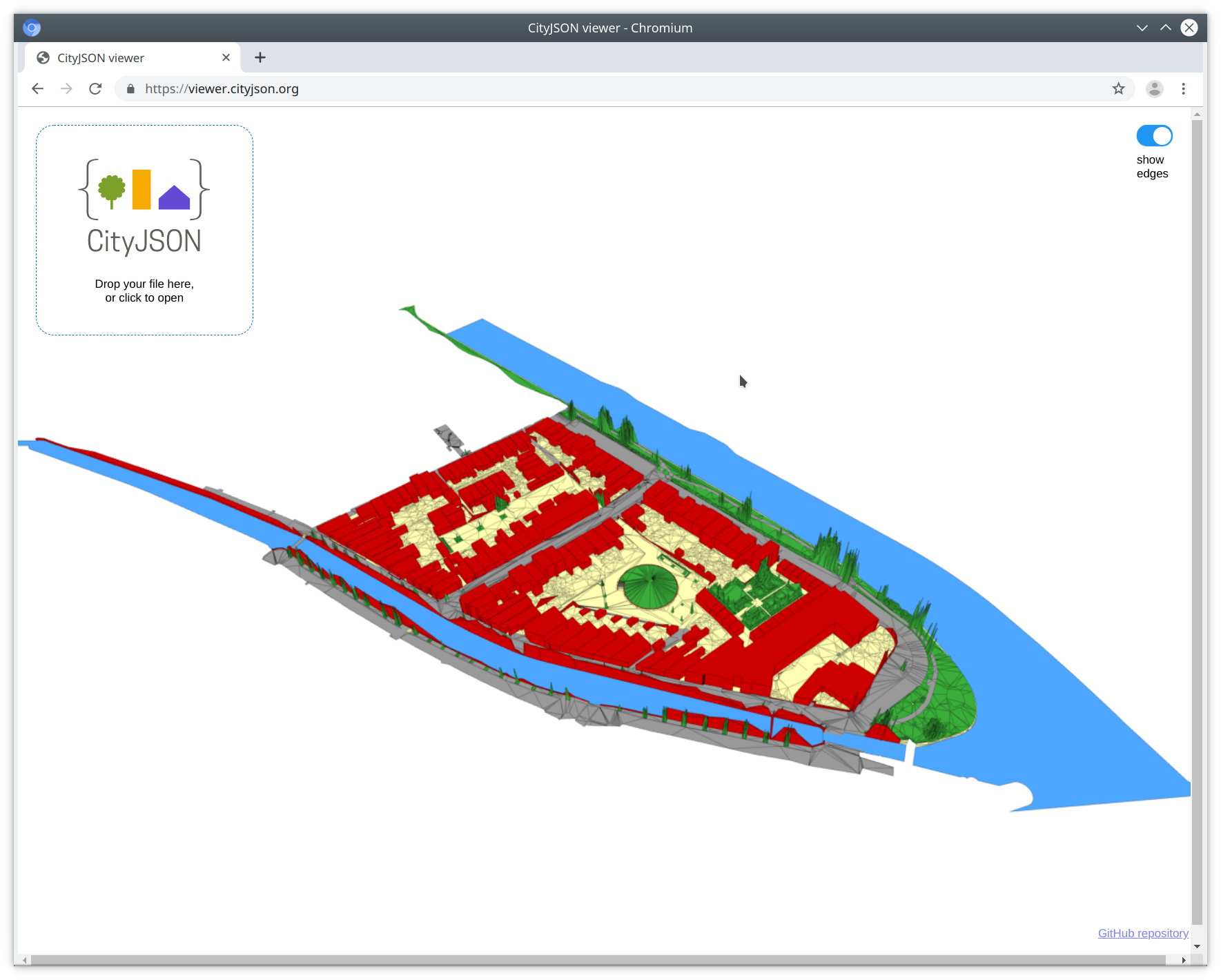
Other software
Online CityJSON viewer
QGIS plugin
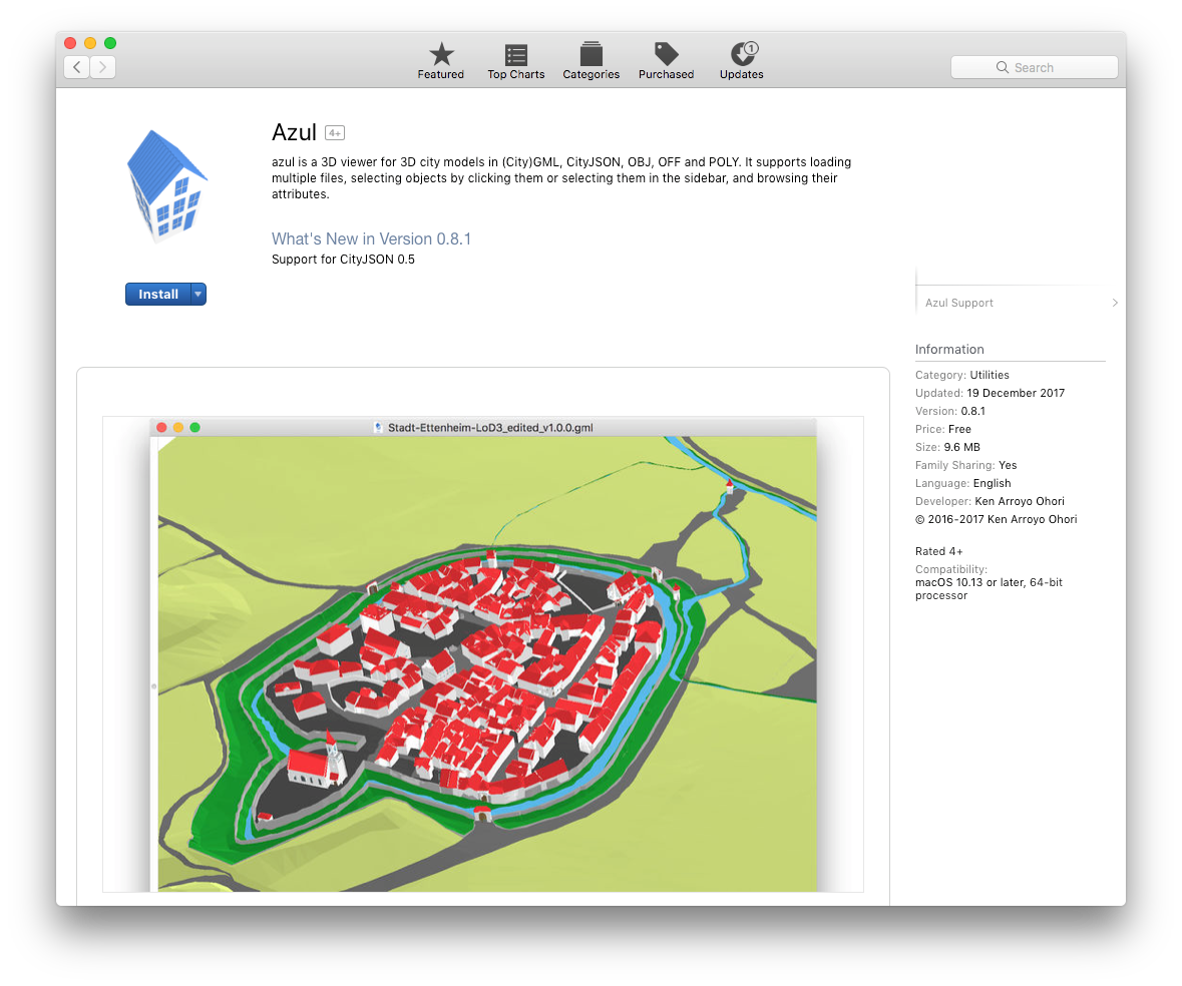
Azul
Full conversion CityGML <--> CityJSON
Thank you!
Balázs Dukai
b.dukai@tudelft.nl
@BalazsDukai
A few links
Repo of this talk: https://github.com/balazsdukai/foss4g2019
QGIS plugin: github.com/tudelft3d/cityjson-qgis-plugin
Azul – CityJSON viewer on Mac – check the AppStore